About Świętokrzyskie Szlaki
The application presents the routes of tourist routes in the province. Świętokrzyskie and related places attractive for tourists. The mobile application Świętokrzyskie Szlaki Turystyczne was funded by the Świ&#
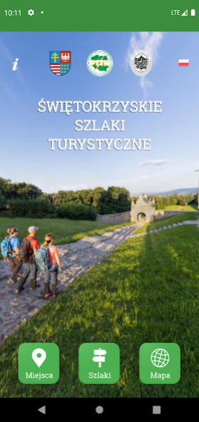
The application presents the routes of tourist routes in the province. Świętokrzyskie and related places attractive for tourists.
The mobile application Świętokrzyskie Szlaki Turystyczne was funded by the Świętokrzyskie Voivodeship by the Main Board of PTTK and the PTTK Mountain Tourism Center in Krakow in cooperation with the Świętokrzyskie Branch of PTTK in Kielce. It is a practical tool for a modern tourist, allowing to navigate the tourist routes and giving access to a rich database of information about the most interesting places located in their vicinity. The application uses the same data about objects and routes that are presented on the website at www.swietokrzyskie.szlaki.pttk.pl. The application and the portal are aimed at popularizing active tourism, enriching the information base for tourists and implementing a new tourist product in the form of a regional system of tourist routes.
The mobile application allows you to view various types of routes on the map in the Świętokrzyskie Voivodeship. It gives you access to a lot of useful information. The application will display to the tourist the altitude profile, the color of marking in the field, as well as data on the length of the trail and the distance of other trails or objects from the user's current location. All trails available in the application have been marked collectively on the map, with different colors corresponding to the colors of the trail in the field.
For each route, objects have been assigned, including interesting sightseeing, nature and other sites attractive to tourists. Among them are, among others Świętokrzyski National Park, Krzemionki Reserve or the highest peak of the Świętokrzyskie Mountains, Łysica. You can also find here a lot of information about the towns through which the routes run, such as Sandomierz, Kielce, Chęciny, Busko-Zdrój.
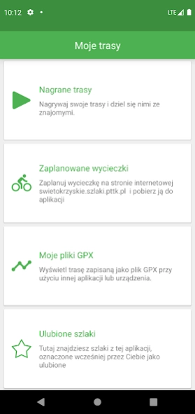
The application allows not only to navigate the selected trail, but also the option of indicating directions to the selected point and searching for nearby interesting places.
The application uses GPS technology and works offline.
Previous Versions
Here you can find the changelog of Świętokrzyskie Szlaki since it was posted on our website on 2023-08-02 01:38:21.
The latest version is 1.0.8 and it was updated on 2024-04-19 17:45:44. See below the changes in each version.
Świętokrzyskie Szlaki version 1.0.8
Updated At: 2023-08-30
Disclaimer
Official Google Play Link
We do not host Świętokrzyskie Szlaki on our servers. We did not scan it for viruses, adware, spyware or other type of malware. This app is hosted by Google and passed their terms and conditions to be listed there. We recommend caution when installing it.
The Google Play link for Świętokrzyskie Szlaki is provided to you by apps112.com without any warranties, representations or guarantees of any kind, so access it at your own risk.
If you have questions regarding this particular app contact the publisher directly. For questions about the functionalities of apps112.com contact us.